I hiked 4.5 miles today. I saw ATV and mountain bike tracks. One human footprint. Heard one pileated woodpecker. Other than that, I had the woods to myself. I’m on a mission to find good trails to ride Tonka on. I’m also on a mission to get to know those trails so that I don’t get lost when out with my horse. Of the several map apps that I’ve found online, only one shows dotted lines demarcating trails in these woods.
But.
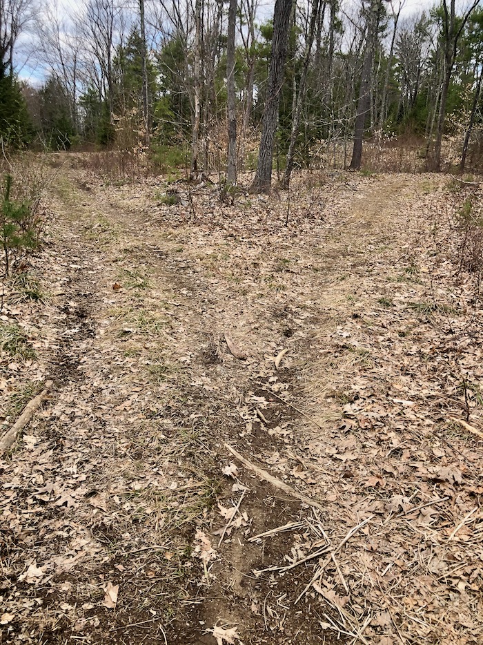
This intersection isn’t on that map. Only the trail to the right is there.
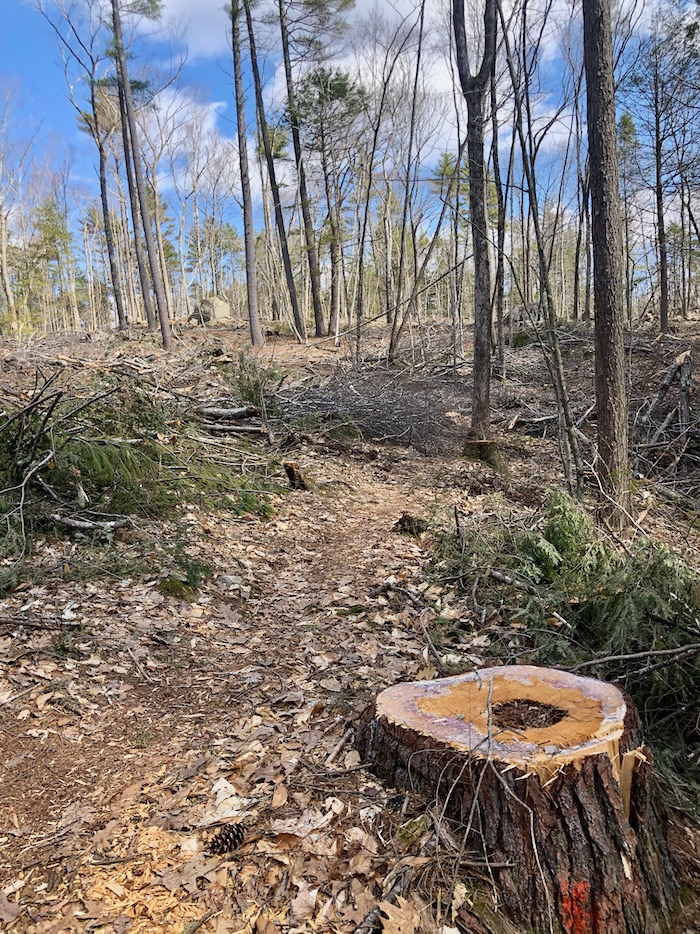
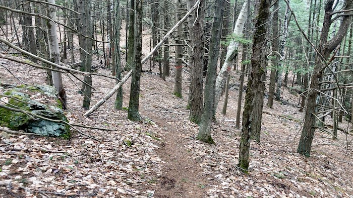
This narrow side-trail is on the map. Even in this logged section, the footing was surprisingly good. I was optimistically thinking that this would be an interesting ride for Tonka and me.
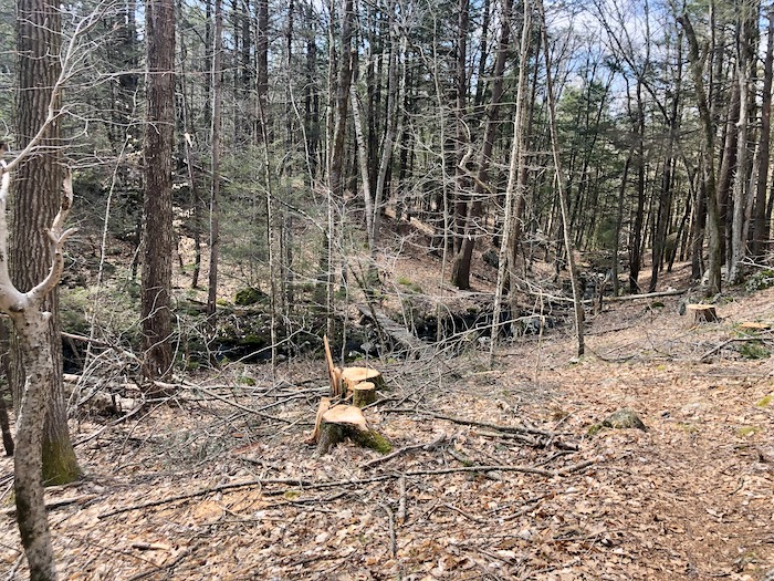
But. See that?
Although Tonka goes over bridges he won’t be traversing this one!
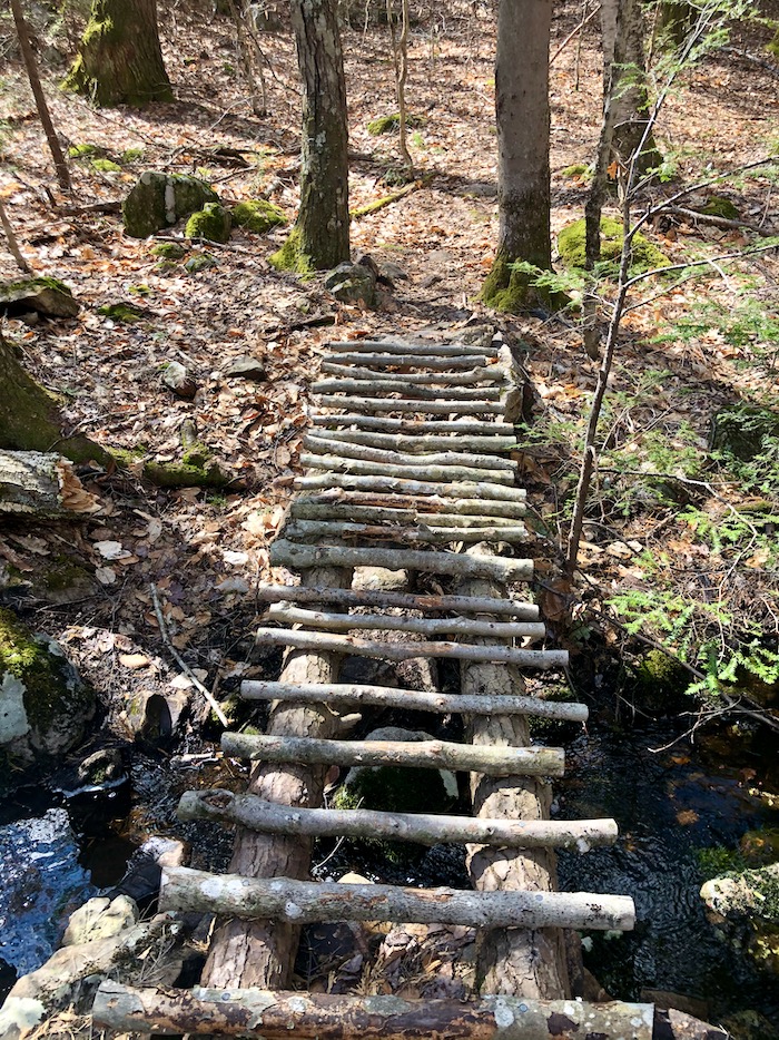
In fact, I thought twice about doing it.
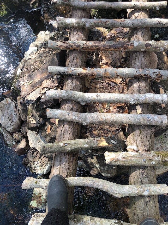
The rest of that side-trail was quite nice so I’ll go back and see if there’s a place that Tonka can safely ford the stream.
This past winter I joined a search and rescue group. To be a participating member I have to take a GPS and compass course. That was supposed to happen in-person, but we’re doing it via Zoom on Saturday. I think those are skills I’ll be needing for hikes in my backyard!
Do you trail ride? How do you keep track of where you are?


Logging roads can really get a person turned around. I don’t have a GPS, I’ve learned throughout the years to go by the position of the sun, a compass, a topo map if possible and I memorize trail marks, like a different looking tree with a rock or something odd looking by it, and by looking back as I ride because things look different going back the other way if you have to back track. And like your map without the fork in the road, you can’t always trust maps.
I wanted to ask you on your web cam post if you have wolves there, but for some reason I haven’t been able to post lately.
I’m a big fan of hiking the trails in advance as much as possible. We also use plastic flagging ribbon tied to branches to mark trails.